We are a global operator of essential infrastructure


Mapping of the Priority Habitats of Community Interest
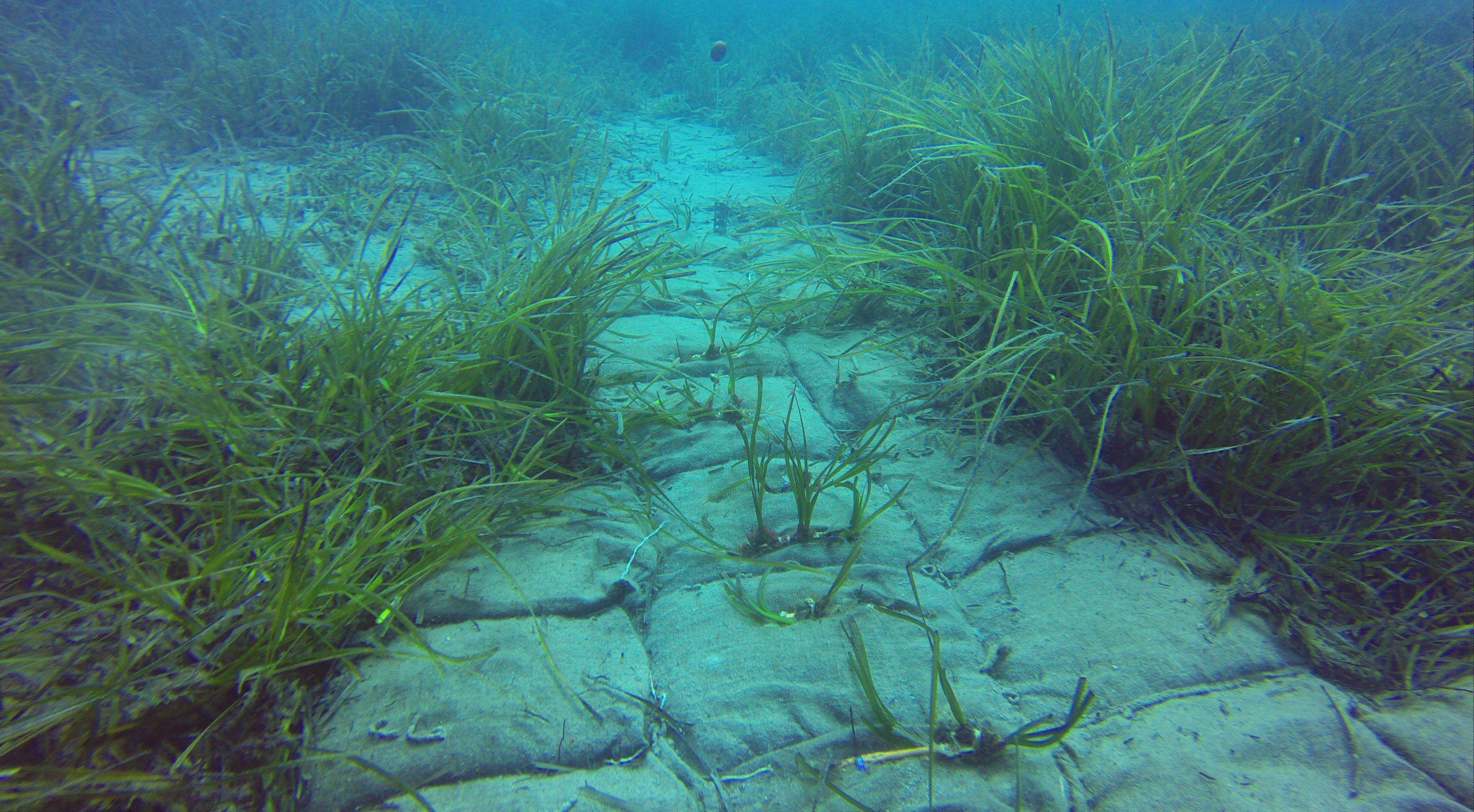
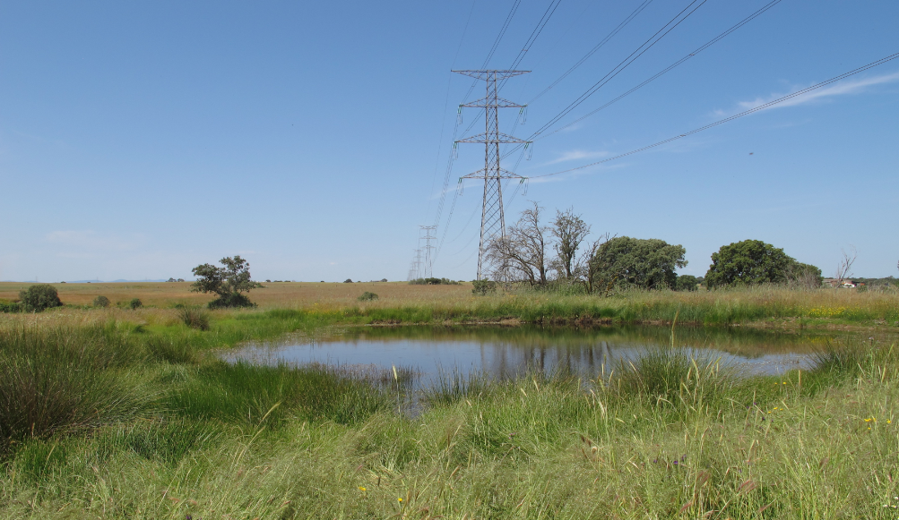
Description: The objective of the project is to gain an understanding of the real situation of the natural ‘priority’ Habitats of Community Interest (HCI) and of the species of high environmental value that are present in the area of influence of Red Eléctrica’s facilities. The work is being carried out by autonomous communities in order to obtain an overall picture nationwide.
The mapping of habitats and plant species of interest according to the real situation will be obtained and will offer the possibility of taking further steps toward the respect, conservation and improvement of the status of the habitats and plant species as a result of the knowledge obtained through the mapping process. The aim is to implement the principle of environmental sustainability as a key element of our business management in the context of respect for the natural environment, biodiversity conservation and the incorporation of good environmental practices in the development of our work.
Location Type
Península
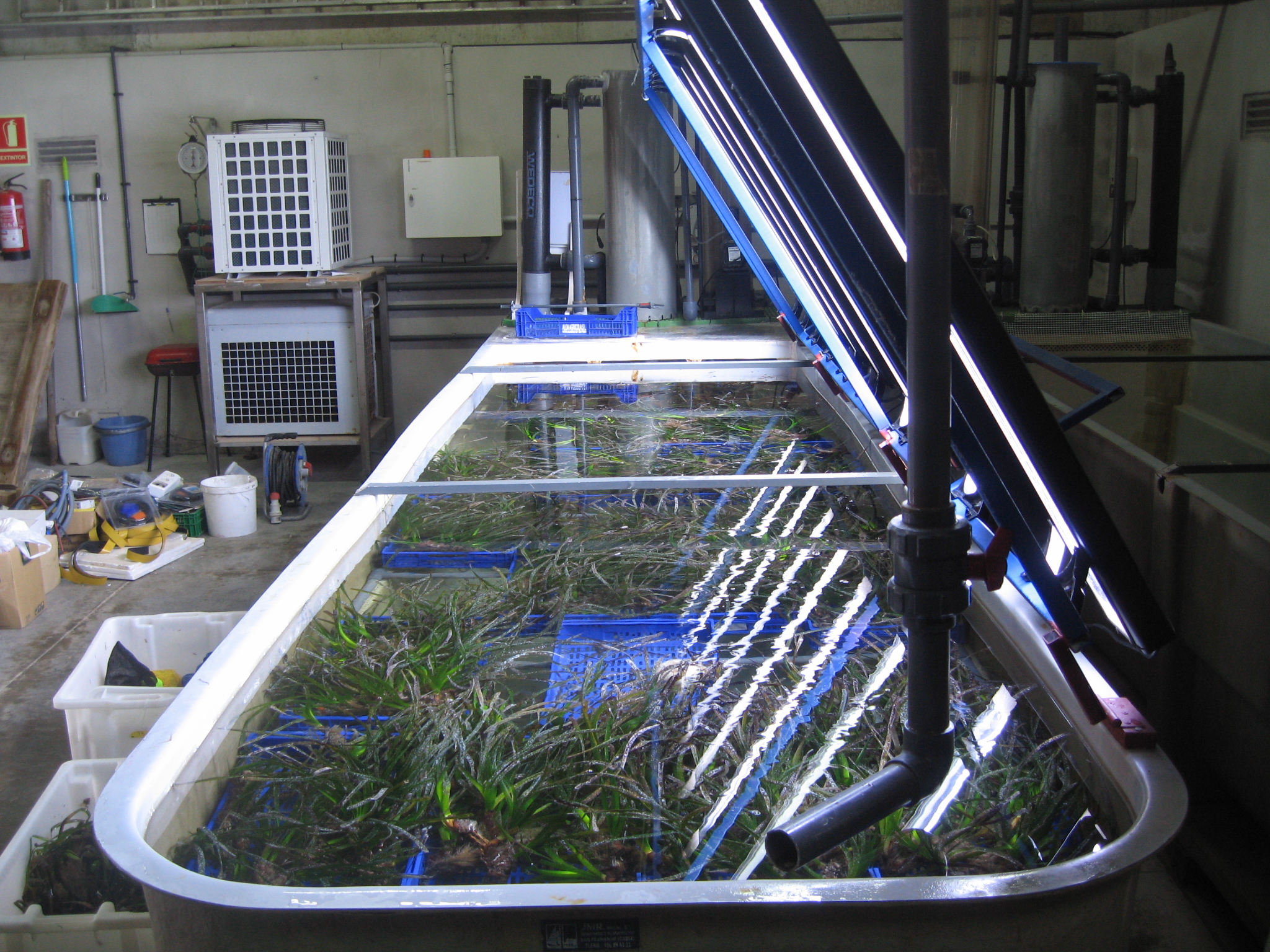
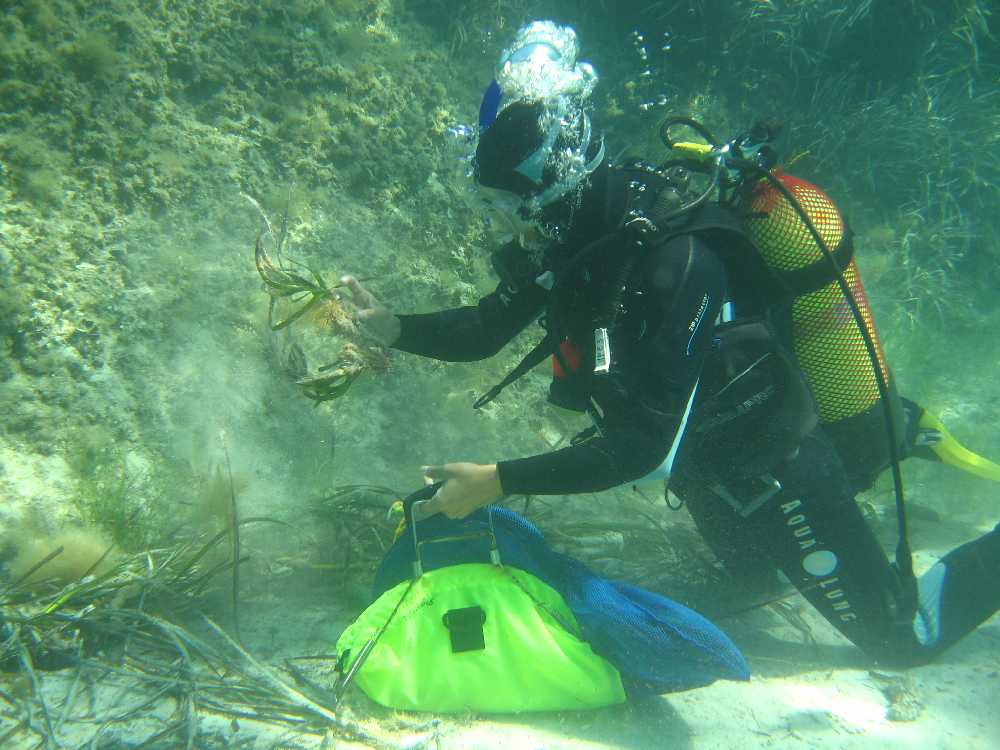
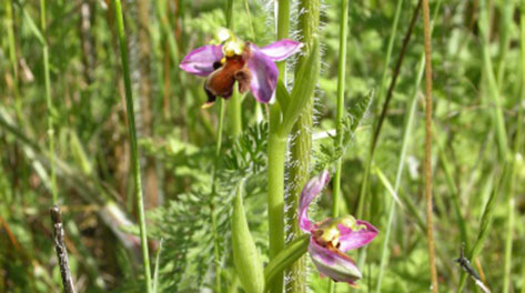
Images
Geographic scope
Nationwide. In the area of influence of high-voltage electricity transmission lines.
Results
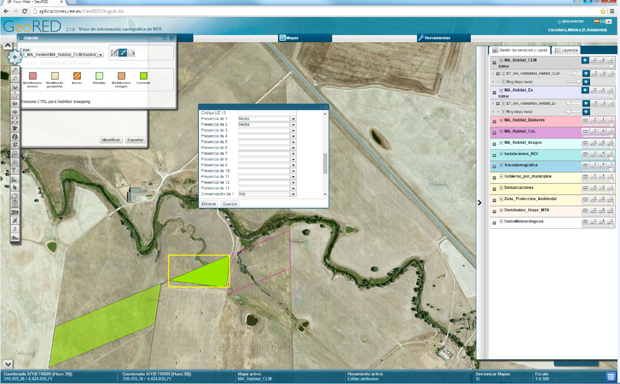
- Geographic information system of the Priority Habitats of Community Interest.
- Maps of Environmental Quality of the Priority Habitats of Community Interest.
Period
2015-2020
In collaboration with
- The public administrations with the competent authority over environmental matters of the 17 autonomous communities
- MAGRAMA (Ministry of Environment)
- Intopcar SL
- Basoinsa SL
- Evaluación Ambiental SL
- Asistencias Técnicas Clave SL
- Office of Territorial Studies and Analysis
Images